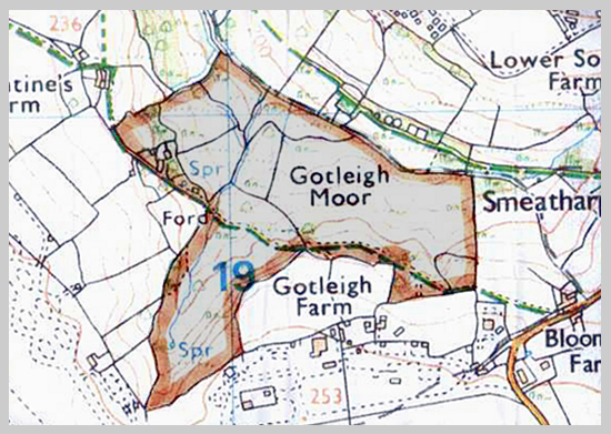
The map shows the bridleway across the SSSI and its location next to the village of Smeatharpe on the Blackdown Hills. The area slopes gently to the Bolham River at the northern edge which also forms the county boundary between Somerset and Devon.
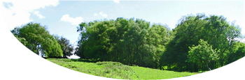
The field boundaries shown are still visible, most of them being stone faced banks with trees or hedging. The outer boundaries are stock proof but most of the inner ones are not to allow cattle to graze across the moorland areas.